| Publications | ||
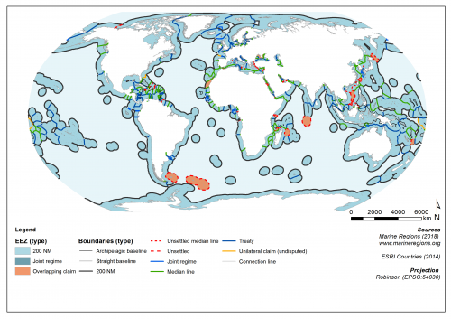
 Exclusive Economic Zones and Boundaries (EEZ) - version 10
PNG file - 357.61 kB - 3 506 x 2 481 pixels
added on 2018-02-216 156 viewsMap based on (archived) Maritime Boundaries Geodatabase
This work is licensed under a Creative Commons Attribution-NonCommercial-ShareAlike 4.0 International License
Click here to return to the thumbnails overview |